
Lexington ZIP Code Directory Coverage
Official Lexington sources support two town delivery ZIP codes: 02420 and 02421. The town’s annual street, precinct, and ZIP list is the local evidence because it pairs streets and address ranges with ZIPs. A citywide directional boundary would be misleading. A street can be split by house-number range, and the records do not establish one rigid postal line through Lexington. The USPS ZIP lookup remains the current check for a specific address.
| ZIP | Areas Covered | Post Office | Notes |
|---|---|---|---|
| 02420 | Lexington delivery addresses, including many center, south, east, and other town streets | Lexington Main Post Office, 1661 Massachusetts Avenue | Coverage is address-range-specific; verify the exact number |
| 02421 | Lexington delivery addresses, including many north, west, and other town streets | A separate dedicated facility was not established in the official source set | Do not substitute 02420; use the published range and USPS result |
The Main Post Office record lists 02420-9998 and phone 781-862-4006. It does not prove that every 02420 or 02421 delivery is physically routed there. The research also excludes 01731 from the Lexington ZIP code directory because the town street-list examples did not establish it as a Lexington-town ZIP. Use USPS address-level verification before assigning any adjacent delivery-area code.
Lexington ZIP Code Street Ranges
House number matters more than a broad neighborhood label. The Lexington street list shows Laconia Street and Lowell Street entries in 02420, while Lake Street and Lantern Lane entries appear in 02421. Liberty Avenue has distinct even and odd ranges, and Marrett Road is split by address range and ZIP. These examples demonstrate the list’s structure. They are not a substitute for checking the published year, full house number, and current USPS response.
| Town street-list detail | ZIP evidence | How to use it |
|---|---|---|
| Laconia Street and Lowell Street | Published 02420 entries | Confirm the exact number in the annual list |
| Lake Street and Lantern Lane | Published 02421 entries | Do not extend an example to the entire street without checking range |
| Liberty Avenue | Separate even and odd ranges assigned to 02420 | Retain parity as well as the house number |
| Marrett Road | Ranges split by ZIP | Compare the street-list year with the current USPS result |
Lexington’s nine precincts appear on the same geography materials, but a precinct is an election administration unit, not a ZIP code boundary. The town list is most valuable as a date-stamped crosswalk of street, range, precinct, and code. A changed range should lead to the current postal check, not a guess based on a nearby address.
Note: Preserve street spelling, house number, ZIP, source year, and lookup date so a later postal change does not erase the earlier evidence.
Verify Lexington ZIP Codes with USPS
USPS answers the delivery-address question. Normalize a suffix and house number for the query, but retain the original address string in research notes. Then compare the postal result against Lexington’s annual street list. If the address touches another municipality or installation area, involve the Assessor, USPS, and the relevant municipality rather than treating a mailing city as a legal boundary.
The assigned USPS ZIP lookup screen is the official current-address route for a Lexington delivery check.
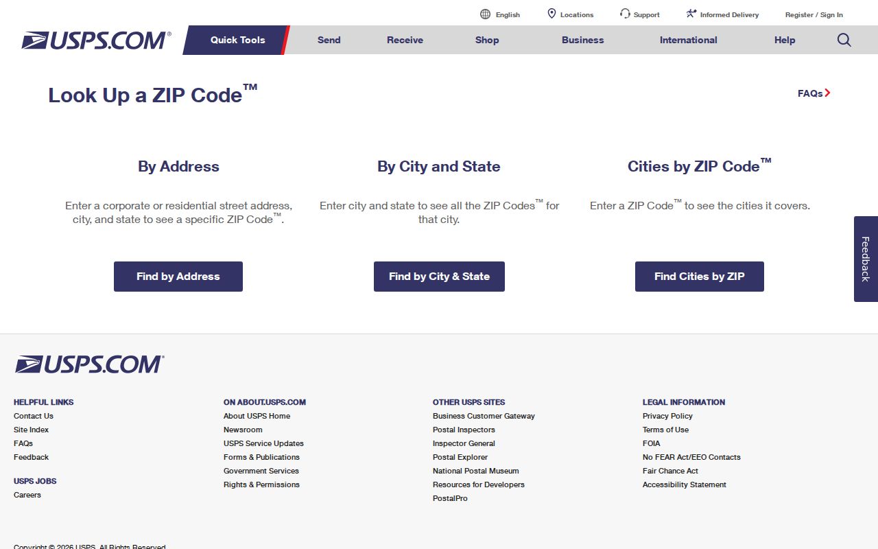
The USPS result should be read with the full street address, not used as a broad ZIP polygon or a directory of people.
- Enter the current house number and normalized street in the USPS lookup.
- Record the returned ZIP, postal city, and date of the check.
- Compare the result with the annual Lexington street-list range and precinct.
- Open the parcel record to distinguish situs ZIP from any separate mailing field.
- Ask the responsible office when a town, parcel, or delivery boundary conflicts.
Search Lexington Records Within a ZIP
A ZIP can organize an address search, but the official systems do not turn it into a public resident roll. Lexington’s Vision assessor snapshot is address and owner oriented, and it is extracted in January rather than refreshed continuously. MapGeo is map-first: select a parcel, inspect the property context, and follow the linked assessment information. The Massachusetts voter-status form is for the individual voter and requires name, date of birth, residential ZIP, and an agreement checkbox. It is not a ZIP-browse tool.
The assigned Lexington MapGeo property viewer shows the parcel-map layer used to place a specific address in its parcel context.
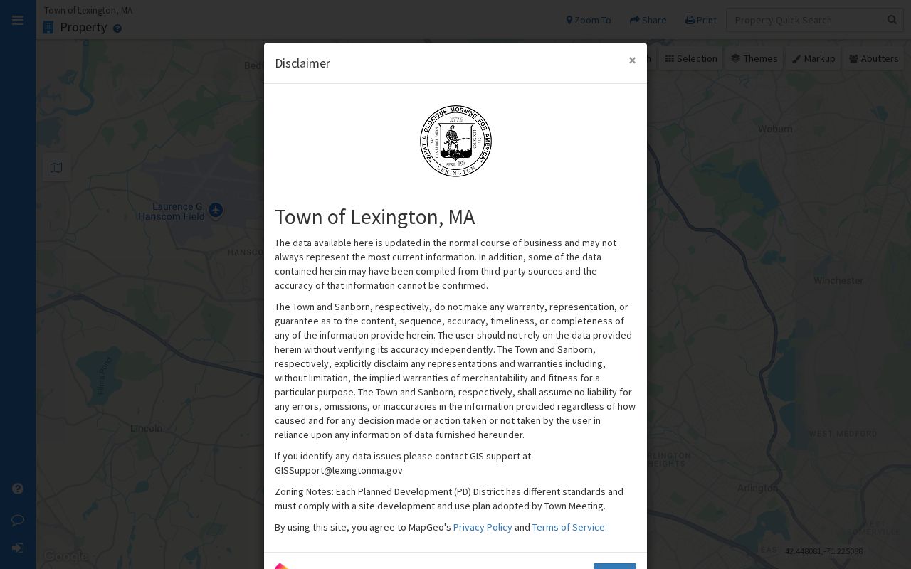
MapGeo can show parcel selection, linked property cards, historical layers, and abutters-distance context. It is a map and parcel tool, not evidence of household composition within a ZIP.
- Use USPS and the street-list range to validate the address and code.
- Find the parcel in Vision or MapGeo and record the map or parcel identifier.
- Use the situs field for parcel geography and label any care-of or mailing line separately.
- Open the Middlesex South recorded-land index only when a deed or plan question remains.
Once a ZIP has narrowed an address, the Lexington street directory provides the fuller street-by-street record path.
Read Lexington ZIP Fields on Parcel Cards
Parcel cards carry more than a ZIP. A Vision card can show a Vision ID, map ID, situs address, assessment values, public-utility indicators, ownership history, sale date, and book/page clues. The record is a crosswalk to the Registry, not a title certificate or current-residence statement. The sample 82 Simonds Road card demonstrates a 02420 situs ZIP, Map ID, and ownership-history references. The Moon Hill Road sample shows why a care-of mailing line must not be relabeled as the situs.
| Parcel-card field | What it supports | Limit |
|---|---|---|
| Vision ID and Map ID | Stable identifiers for comparing town property records | They do not identify every occupant |
| Situs address and ZIP | Parcel’s recorded physical location | Check date because Vision is an annual snapshot |
| Mailing or care-of line | Where correspondence is directed in that source | Not proof of residence or parcel situs |
| Book/page and sale history | Lead to recorded land and dated ownership context | Open the deed image for the actual instrument |
For a conflict, compare the Vision year, MapGeo layer date, USPS query date, and recorded deed date. The January assessor freeze can explain why a newer Registry conveyance appears before a property card changes. Keep those dates together instead of declaring one source wrong.
Lexington ZIP Codes Do Not Set City Lines
Postal city labels, mapped ZIP shapes, municipal limits, and property boundaries are separate systems. Massachusetts GIS guidance explains that USPS does not maintain an official ZIP polygon map; the state’s ZIP shapes are approximations with a primary-municipality field. A Lexington ZIP can therefore be useful for delivery verification without establishing where a parcel lies for municipal records. Use the Assessor or deed for municipal and parcel questions.
- ZIP code
- A five-digit postal delivery code. It is not a neighborhood, precinct, or legal boundary.
- ZIP+4
- An added four digits that refine delivery sorting for a smaller address group.
- PO-box ZIP
- A code used for post-office boxes, which can differ from the delivery ZIP at a physical address.
- Carrier route
- A postal delivery sequence used for service operations, not a municipal record boundary.
Boundary check. If a USPS label and Lexington parcel source disagree, retain both dated results and ask the responsible postal or municipal office to resolve its own record.
Lexington Precincts Add a Different Layer
The annual street list links an address range to both precinct and ZIP, which makes it helpful for checking local geography. Lexington’s election page documents nine precincts, polling hours, and check-in by street and house, name, or election-official verification. It does not create a public name directory. The state voter-status service is limited to a voter’s own verification, and confidential registrations under M.G.L. c.51, §51A are withheld.
A ZIP code may appear beside a precinct in the same town document, but the two should not be merged. Treat the published street list as a geography source, the voter form as an individual-status route, and the Town Clerk as the contact for current registration or annual-register questions. Exact current register fields, redaction practice, and a request fee were not confirmed in the research sources, so those details should be requested directly from the Clerk.
Date Every Lexington ZIP Directory Source
Lexington records are divided by custodian and by time. MapGeo has current and prior layers from 2009 onward, Vision reflects an annual January snapshot, and the town street list is an annual publication. An older street list can be requested through Lexington’s public-records process when a historical range is needed. Request a narrow record, year, and format through OpenGov, mail, email, or in person under the Massachusetts Public Records Law, M.G.L. c.66, §10.
The practical lesson is simple: a code should carry a source and date. A 2026 USPS delivery check, a prior-year town list, and a Vision snapshot can all be correct for the dates they describe. When a modern address needs historical context, add the record year before comparing it with a current ZIP response. That preserves the local record trail without turning postal data into a live location list.
For a historical Lexington property question, record each layer separately: the original address string, the town street-list year, the USPS query date, the Vision snapshot year, and any MapGeo layer date. The town’s recordkeeping history reaches back through different custodians, and older address research can also encounter the 1857 street-naming material or a pre-modern street reference. Do not silently normalize an older spelling into a current postal address. A dated source trail makes the difference between an address clue and an unsupported location claim clear.
Where the online material stops, the fallback chain is the responsible town office, a narrow public-records request, and local archival material. Older property and town-history research may move between the Assessor, Town Clerk, Town Archives, Cary Memorial Library, and Lexington History Museums. Ask which office holds the exact year and record series before seeking a copy.
Note: USPS lookup is free, the town PDF is posted publicly, and certified or map-copy fees depend on the office that holds the requested record.