
How Lexington Neighbors Appear in Public Records
A block lookup should state which relation a source actually documents. An abutter is a parcel that touches or sits near another parcel. A recorded owner is the party on an assessment card or instrument. A district label is a planning or historic designation. A historic directory entry is evidence for its stated year. These are useful Lexington neighbors records when kept separate, but none is a current household list or proof that people know one another.
| Source | What it shows about a block | Access |
|---|---|---|
| MapGeo property layer | Parcel edges, selected property, nearby geometry, and an abutters-distance view. | Public dynamic viewer; retain the map date and selected parcel. |
| Vision property cards | Situs, Map ID, public assessment fields, and a recorded-sale clue for each parcel. | Public annual snapshot; open every parcel separately. |
| Recorded plans | Lot layout, shared land, easements, subdivision references, and boundary clues. | MassLandRecords Plans search and document image. |
| Street and precinct list | Street name, exact address range, precinct, and ZIP. | Annual Lexington PDF; the house number matters. |
| Public permits | Address-specific activity, status, and released files or plans. | ViewPoint, OpenGov, activity spreadsheets, or office assistance. |
| Historic maps and archives | Former roads, lot patterns, landmarks, and dated address context. | Town GIS layers, Cary, Town Archives, and History Museums. |
The table begins with public geography because it gives a verifiable boundary for a search. Owner lines and historical records may add a source-labeled name, but the relationship must remain precise. A mailing or care-of line is not the same as a situs address, and a map relationship is not a personal one.
Map a Lexington Block Before Reading Names
Lexington's MapGeo property viewer is the best starting point for the immediate block around an address. It is map-first: pan or zoom to the subject parcel, select it, then use its geometry and the visible nearby parcels to frame the question. The town's GIS resources also provide current and prior layers from 2009 onward, historic-property material, assessor maps, and street and precinct maps. MapGeo supports an abutters-distance parameter, but visual proximity still needs a dated map record.
The official MapGeo parcel viewer supplies the parcel and abutter display used for this Lexington block method.
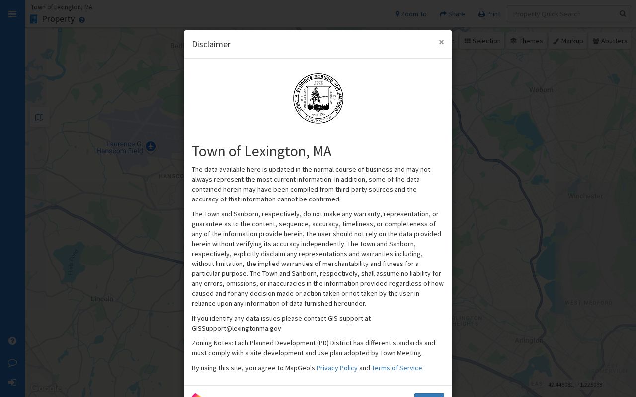
Map labels are reference material, not survey-grade proof. Record the layer name, map date, and parcel ID before opening another source. That small habit prevents a current map from being mixed with a prior layer or a document that describes a former lot pattern.
Note: A parcel map establishes geographic context first, then each additional record should be checked against its own date and purpose.
Trace Lexington Neighbors Across Adjacent Parcels
The adjacent-parcel method keeps a block lookup narrow. It follows the land records around one selected property without pretending that every public field describes a current person. The resulting path is an address-to-parcel workflow, not a social map.
- Locate the exact street number in MapGeo and note the selected parcel ID, map date, and visible boundaries.
- Use the abutters-distance view or shared boundaries to identify nearby parcels, then open each one as a separate map selection.
- Open the matching Vision card for each parcel. Preserve the situs, Map ID, annual snapshot date, owner line, and any mailing or care-of field as separate values.
- When a lot boundary, shared drive, easement, or subdivision question remains, search the Middlesex South Plans route and inspect the plan image.
- Use a historical map or directory only for the period it covers, and label the result as historical address evidence.
For a full named-street record trail, including assessor, deed, permit, and historical-name work, use the Lexington street directory. The block approach stops at the surrounding parcels so the purpose and scope stay clear.
Lexington District Names Are Not Membership Lists
Neighborhood names can describe different things in Lexington. The town's Neighborhood Conservation District materials identify Pierce-Lockwood and Turning Mill as districts adopted at the 2018 Annual Town Meeting under the Chapter 78 framework. The documented process involves a petition, a study committee, Historical Commission and Planning participation, and public review. That is valuable property and planning context, not a list of members or a statement about who lives within a boundary.
LexTopia's neighborhood histories add local-history context for Six Moon Hill, Peacock Farm, Five Fields, and Turning Mill. Planning studies and town reports also use labels such as East Lexington, Meriam Hill, and South Lexington. Treat each term as the source uses it: a conservation district, a development, an area in a study, or an informal civic reference. A name on a map does not create a roster.
This distinction is a useful correction to a common assumption. An NCD boundary can lead to design guidelines, meeting records, town action, and property-level history. It cannot establish association membership, personal contact information, or who is physically at an address.
Lexington Neighborhood Sources Give Block Context
There is no single verified public directory of current Lexington association members, contacts, or active boundaries. The strongest community layer is therefore a set of public institutional sources. They can locate a district, a civic organization, or an archive path without collecting private member information. Check each group or area through the relevant current source before treating it as active.
| Lexington community source | Public route | Useful block context | Boundary to keep |
|---|---|---|---|
| Pierce-Lockwood and Turning Mill NCDs | Town NCD page, bylaw, planning, and Town Meeting materials. | Formal conservation status, process, review material, and boundary context. | An NCD is not an association-membership list. |
| LexTopia neighborhood research | Public neighborhood-history pages. | Local history for modernist developments and named areas. | Historical context is not a current-address confirmation. |
| Town volunteer-organization list | Official town PDF. | Names of civic organizations and public participation paths. | Do not infer private membership or publish personal contacts. |
| Cary, Town Archives, and History Museums | Lexington Heritage and repository research channels. | Directories, maps, photographs, town reports, and historical context. | Archive evidence must carry the collection and date. |
When one catalog is silent, the three-repository Lexington Heritage model is useful: Cary Memorial Library, Town Archives, and Lexington History Museums hold different material. An absence in one catalog does not establish an absence in the others.
Lexington Street Lists Place Neighbors in Civic Geography
The annual street list gives the exact address-range, precinct, and ZIP layer that a parcel map lacks. It is a better way to check civic geography than guessing from a neighborhood label. Lexington has nine precincts, and the town's precinct page provides the street and precinct route. The research notes that ZIPs can split along a road, so a street name by itself is not enough.
Massachusetts also provides a voter-status lookup, but it is for an individual voter's own registration. It requires the person's name, date of birth, residential ZIP, and agreement to the terms. It is not a block browsing tool. For annual-register questions or legally public record requests, ask the Lexington Town Clerk about the current format, eligibility, and restrictions rather than attempting to reconstruct a voter list.
Note: A precinct, a ZIP, a parcel, and a neighborhood label overlap in useful ways, but they are separate geographic systems with different source dates.
Official Lexington Block Records and Private Tools
Official records are strongest when a reader needs to trace a specific fact back to a custodian. Private neighbor-lookup tools can combine information from many sources, but they may not show the original record date, the agency that created a field, or the difference between an owner line and a current presence. The comparison below keeps the focus on verification rather than compiling a profile of a person.
| Question | Official Lexington records | Private compiled tools |
|---|---|---|
| Parcel relationship | MapGeo and recorded plans show dated geometry and source context. | May summarize proximity without a map layer or plan reference. |
| Recorded owner | Vision and Registry images identify the source record and its date. | May merge owner, mailing, or historic fields without clear labels. |
| Community context | Town, archive, and planning sources explain a district or organization. | May imply a social tie that no public record establishes. |
| Correction route | The agency, Registry, or archive can explain a source-specific correction path. | Correction process and source provenance can be unclear. |
For a current map, assessor card, plan, or permit file, follow the custodian's own access channel. The Assessor's technical route is TAO@Lexingtonma.gov or 781-698-4578, and the Building Office is reachable at 781-698-4510 for permit questions. If a public record needs clarification, Lexington accepts defined requests through OpenGov, mail, email, or in person; a focused request should state the address range, record series, year, and desired format. The town prefers electronic production, while ordinary paper copies are generally capped at five cents per page unless a different rule applies.
Privacy Boundaries for Lexington Neighbors
Block research must stop where public access stops. Do not use parcel and map sources to expose private contact details, protected voter addresses, medical or victim information, unredacted identity data, or a speculative list of people at a location. Massachusetts has confidential voter registration under M.G.L. c.51, section 51A, and the Address Confidentiality Program provides substitute-address protection for eligible participants.
Lawful use. Use public Lexington block records for personal, lawful research, local history, property context, and civic questions. Do not use them to monitor, stalk, harass, intimidate, or target anyone; report a safety concern through the appropriate official channel.
If a source contains an error, take it to the creator of that record. The Assessor can address an annual property card, the Registry can explain a land-record correction or redaction route, and the Town Clerk receives defined records requests. A careful source note protects both the researcher and the Lexington neighbors record from being overstated.