
Trace a Lexington Street by Address
A street-by-street search should begin with the exact house number and source date. The public records can identify a parcel, a recorded owner, an assessment record, a deed reference, a planning record, or a historic address entry. They do not create one current household roster. Keeping each result in its own lane keeps the record chain clear: a property card can point to a Registry image, while a historic directory or an annual street list may describe a different time and purpose.
- Find the number in Lexington's published street list, and record its precinct, ZIP, and the publication year.
- Search the Vision assessor snapshot by street address or owner name. Save the Vision ID, Map ID, owner line, situs, and any book/page clue.
- Open the same parcel in MapGeo. Compare the parcel edges and nearby lots, keeping the layer date with the result.
- Use the owner or book/page clue in Middlesex South Recorded Land, narrow to Lexington, then inspect the deed or plan image.
- For a dated civic or household question, ask the Town Clerk about the lawful register channel and use Cary's historical collections for period evidence instead of treating a current search as proof.
The state voter-status form is only for an individual voter to check their own status. It requires name, date of birth, residential ZIP, and agreement to its terms. Lexington has no verified public web roster that can be browsed house by house. That boundary matters when an address question turns from a parcel question into a question about people.
Lexington Street Lists Start With the Number
The Lexington street list ties street names and address ranges to precincts and ZIP codes. It is a geography tool, not a name list. A street can change ZIP by range, and the research specifically notes split ranges on Marrett Road and distinct even and odd ranges on Liberty Avenue. Start with the number, retain the source year, and do not assume a road has one postal value from end to end.
The official Massachusetts voter-status lookup illustrates the separate rules for an individual's registration check. The search asks for first name, last name, month, day, year of birth, five-digit residential ZIP, and an agreement checkbox.
The form is useful for its intended personal status purpose, but it is not evidence for building a list of neighbors from an address. For annual-register questions or a lawful records request, the documented local route is the Town Clerk, not a name-only web search.
Note: Preserve the house number, precinct, ZIP, and source year as separate fields because each can change independently in a Lexington address search.
Read Lexington Property Cards by Street
Lexington Assessor's Online Property Database, supplied by Vision Government Solutions, is the practical first stop for a public parcel card. The town says property and parcel records can be searched by owner name or street address. Its online file is an annual snapshot extracted in January, so it does not continuously reflect corrections, inspections, or active changes made later in the year. Older assessor material is available by request from the Lexington Assessor.
The assessor entry and property card use several useful lookup fields and identifiers. They should be recorded exactly, because a party name can vary while a parcel or map identifier provides a more stable link across address records.
| Vision or map field | Search use | Reading caution |
|---|---|---|
| Street or property address | Find the public property record for the exact number. | Keep the original spelling and unit wording where shown. |
| Owner name | Locate the annual card when an owner line is known. | A trust, estate, or shared name can be the indexed party. |
| Vision ID and Map ID | Join the assessor record to map and request work. | They describe the property record, not a current household. |
| Situs and mailing or care-of line | Separate the parcel location from a source mailing field. | Do not label a mailing line as a residence. |
| Book/page and sale rows | Move from the card to a Registry document image. | Open the image before drawing a title conclusion. |
The official assessor screen makes the annual-snapshot warning visible before a property result is read.
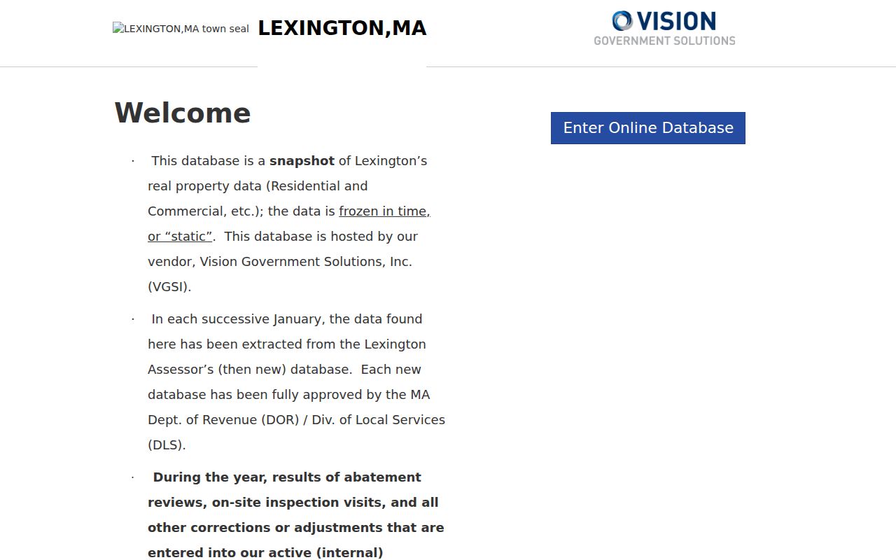
A Vision card can show an owner line, situs, utility or assessment details, sale-history clues, and book/page references. It is a crosswalk to other records, not a title certificate or a statement that the named party is at the address today.
Use MapGeo Along a Lexington Street
Lexington's MapGeo property viewer is map-first. A researcher can pan and zoom, select a parcel, compare abutting geometry, and follow property-card links. The town's GIS page also points to current and prior layers from 2009 onward, historical-property material, assessor maps, and street and precinct maps. The dynamic route accepts map position, zoom, and an abutters-distance parameter.
The MapGeo viewer is most reliable when the user records the map date, selected parcel, and layer name before comparing results. Parcel outlines and visible shared boundaries can identify the geographic relationship of nearby lots. They do not show a survey-grade boundary, and the town's parcel-map example labels the mapping as reference material.
The MapGeo parcel viewer provides the visual parcel and abutter layer used for a street segment check.
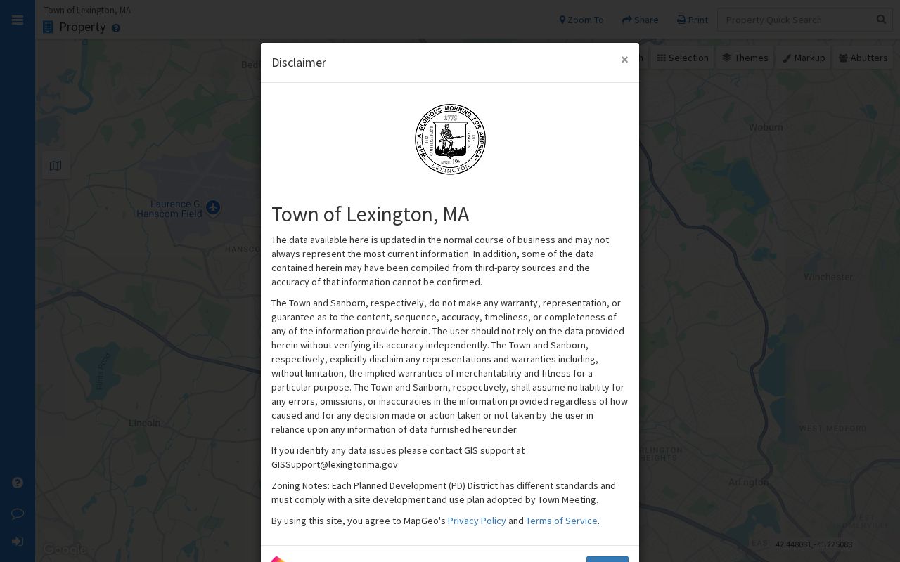
Use a selected parcel to open its own record, then repeat for the next parcel. That preserves the difference between a shared boundary, an assessment owner line, a separate mailing field, and a historical address entry.
Note: MapGeo supports a parcel comparison, but the Assessor remains the authority for assessment questions and the Registry image remains the controlling land-record source.
Lexington Address Records at a Glance
Each address-keyed source answers a different address question. The safer connection is usually a parcel, Map ID, plan reference, book/page, or precise address range, rather than a name alone. That approach also makes conflicts visible when a present assessor snapshot and an older record describe the same property differently.
| Lexington address source | Keeper | What it can show | Access route |
|---|---|---|---|
| Annual property card | Lexington Assessor | Owner line, situs, identifiers, assessment and sale-history clues. | Vision, assessor counter, or a focused records request. |
| Parcel and abutter layer | Lexington GIS | Parcel geometry, labels, nearby lots, current and prior map layers. | MapGeo and town GIS resources. |
| Recorded land and plans | Middlesex South Registry of Deeds | Grantor, grantee, recording data, legal description, and plan references. | MassLandRecords, Cambridge counter, and older microfilm or paper pathways. |
| Street and precinct list | Lexington Town Clerk | Street range, precinct, ZIP, and publication-year geography. | Posted PDF, clerk questions, or a records request. |
| Permit activity | Building, Conservation, and town files | Public application or activity details, location, date, status, and released files. | ViewPoint, OpenGov, spreadsheets, or office assistance. |
A card's situs is the property location. A mailing or care-of field, when the source displays one, serves a different administrative purpose. A recorded document may use a legal description or lot number rather than the street number used by a permit search.
Middlesex South Deeds Behind Lexington Streets
Middlesex South Registry of Deeds is Lexington's land-record district, rather than a generic county recorder search. Its portal offers Recorded Land, Registered Land, Plans, name, document, book, property, recorded-date, and unindexed-property routes. Search the current party or book/page clue with Lexington selected, then inspect the document image for the legal description, grantor, grantee, recording date, consideration when present, prior-deed references, and plan references.
The Registry also keeps an in-person route at 208 Cambridge Street in Cambridge, with recording hours Monday through Friday from 8:00 a.m. to 3:45 p.m. The published contact number is 617-679-6300 and the office email is middlesexsouth@sec.state.ma.us. At the time checked, the portal described searching, viewing, printing, and downloading as free; older microfilm and paper books remain the fallback when a web result is not enough.
- Parcel
- A mapped unit of property identified by an assessor or GIS record.
- Situs address
- The location of the property itself, which may differ from a source mailing line.
- Plan
- A recorded map that can explain lot creation, boundary lines, common land, or an easement.
- Criss-cross directory
- A historical directory arranged by address rather than by a person's name.
Name results can reach the first 1,000 matches, so a common surname needs town, party type, document type, or date limits. Older books and indexes remain important: recorded-land books have been scanned, while historical microfilm and paper routes still support older grantor and grantee work. A deed image, not a result row, is where an address researcher checks the actual instrument.
When the current card supplies a book and page, start there before trying a broad name search. If that reference does not resolve the chain, test the Recorded Land, Registered Land, Plans, and unindexed routes separately. The unindexed property option explicitly reaches books 1 through 1024. Compare the lot description and any plan reference to the assessor and map identifiers, because a street number may be absent from an older instrument.
Older Lexington Street Names Need Context
Lexington's property trail reaches far beyond a modern street label. Town Archives material can reach back to 1729 for some property and town-history work, and the 1857 street-naming report is a direct source for historical street names. The town's historic maps collection is the next check when a deed, directory, or plan uses a form that does not match the current street label.
Do not silently replace an older address with a modern-looking one. Retain the original spelling, number, lot reference, and source date. If a historic map lacks a later road, describe that absence from the dated map rather than asserting a broader fact. For a historical address trail, Cary Memorial Library, Town Archives, and Lexington History Museums supply archival paths; the historical directory collections are discussed in the Lexington city directories.
Note: An address comparison is strongest when every source keeps its own date, spelling, map layer, and identifier instead of being forced into one modern format.
Lexington Parcel Notices Add a Timely Check
The MassLandRecords Consumer Notification Service is a practical follow-up for a person monitoring their own property record. The free service supports enrollment for up to three residential properties in participating registry districts, including Middlesex South. It can notify an enrolled owner when a new recorded document is filed, which makes it useful alongside a saved book/page reference and the annual assessor snapshot.
A notice is not a public alert about other people on a street, and it does not replace reading the recorded image. Open the Registry document, check the party roles, recording date, instrument or book/page, legal description, and any plan reference before treating a filing as meaningful for an address history. Keep the service's alert date separate from the document's recording date and from the date a street directory search was performed.
Lexington Permit Files Add an Address Layer
Public permit activity can place a dated project at an address without proving who was present there. The ViewPoint search accepts a location or record number and exposes application and Files tabs. Lexington's permit activity page lists building, electrical, plumbing, gas, sheet-metal, and mechanical activity for 2020 through 2026. Conservation files can be searched by location or record number, but the town notes an online gap for pre-2018 conservation material.
When a needed card, permit, plan, or older map is missing online, use Lexington's public-records process through OpenGov, mail, email, or an in-person request. State the parcel or street number, record series, years, and desired format. The town prefers electronic production, while ordinary paper copies are generally capped at five cents per page unless another rule applies; a broad request can still need clarification or a permitted search and redaction estimate.
Limits of a Lexington Street Directory
Street records establish public property and civic geography, not a live list of people. They do not authorize the release of protected voter addresses, utility data, medical information, private contact details, identity numbers, or a speculative account of who is present at a property. Massachusetts confidential voter registration is governed by M.G.L. c.51, section 51A, and the state's Address Confidentiality Program provides a substitute-address route for eligible participants.
Lawful use. Use Lexington address records for personal, lawful research, property history, civic questions, or source verification. Do not use public records to stalk, harass, intimidate, or target anyone; Massachusetts law treats stalking and repeated unwanted conduct seriously.
If a source appears wrong, contact the office that created it. The Assessor can explain the annual property snapshot, the Registry handles land-record correction or redaction procedures, and the Town Clerk receives defined public-record requests. A correction path is more reliable than copying an error across an address record.