
Lexington Previous Residents by Address
The backward trail for previous residents has two layers. Land records and annual property records supply owners, parcel identifiers, legal descriptions, sales clues, and recorded documents. Directories, newspapers, census-era material, and local archival collections can supply dated occupancy clues. Start with the era. A house built or divided after a plan was recorded may not use the same description in older records. A directory gap can be real even when the property trail is complete.
| Source | Years It Covers | Where Held | What It Shows |
|---|---|---|---|
| Middlesex South Recorded Land books | Historical series; exact online name-search cutoff not located | MassLandRecords, Cambridge registry, older microfilm and paper | Recorded deeds, mortgages, releases, liens, and book/page or document data |
| Middlesex grantor and grantee indexes | Grantee 1639-1905; grantor 1639-1950 catalog coverage | Registry pathways and institutional microform catalogs | Older party-name leads that require town, volume, and image verification |
| Vision parcel history | Current annual snapshot with prior-assessment rows | Lexington Assessor and Vision PDFs | Owner line, situs, assessment, sale-history clue, and parcel identifiers |
| Lexington Town Directory catalog | 1894-1938 | Town Archives catalog | Dated local directory lead; individual issue access must be checked |
| Lexington Minute-Men | 1871-1975 | Digitized newspaper portal | Address, organization, property, obituary, and event leads verified on page images |
| Town Archives and Cary house-history material | Some property material reaches to 1729 | Town Archives, Cary, and History Museums | Maps, town papers, photographs, directories, and contextual property material |
For a modern transfer, begin with the annual card and the recorded instrument. For older houses, add the address variants, plans, archives, and period directories. Note: an owner line, a directory entry, and a mailing line are different forms of evidence and should be labeled separately.
Lexington Registry Record Trail
Lexington land belongs in the Middlesex South Registry of Deeds district, not a generic county recorder search. MassLandRecords for Middlesex South offers Recorded Land, Registered Land, Plans, and an Unindexed pathway, with name, document, book, property, recorded-date, and plan search modes. Use the town filter for Lexington and preserve the book/page or instrument reference from every result image. The registry homepage describes online scanned book/page material, while older books and indexes also have microfilm or office pathways.
Each search mode answers a different question. Recorded Land Name search takes party names and can be narrowed by party type, town, document type, and dates. A book/page or document search is best when a Vision card or a previous deed gives an exact reference. Registered Land can require a certificate number. Plans can reveal lot creation, common land, shared drives, easements, or boundary changes that a street address obscures.
Result sets may be limited to the first 1,000 rows. Narrow a broad surname by Lexington, document type, and date before treating no result as meaningful. Search both sides of a transfer and consider spelling, punctuation, trust, estate, and co-party variations.
Tracing Lexington Previous Residents Through Deeds
A deed chain follows transfers of an interest in land, not a roster of occupants. Begin with the latest assessor owner and any book/page noted on the card. At the registry, open the current deed image and copy the recorded date, grantor, grantee, property description, consideration when shown, references, and plan references. The grantee is the party receiving the interest; the grantor is the party conveying it. Repeat the process with the earlier transfer, using the legal description as the anchor when street wording changes.
- Open the Lexington Vision card and record its Vision ID, Map ID, parcel or GIS identifier, situs, current owner line, and any book/page clue.
- Search the current grantee in Middlesex South Recorded Land, limit the result by Lexington, and open the recorded image.
- Copy the prior grantor, the recorded date, the legal description, and each book/page, instrument, or plan reference.
- Search that grantor as an earlier grantee, then repeat the image review one conveyance at a time.
- When the chain changes form, test Registered Land, Plans, the Unindexed route, and older microfilm or registry assistance before declaring a break.
- Grantor and grantee
- The grantor conveys an interest. The grantee receives it. Their roles may be indexed differently in a record system.
- Chain of title
- A documented sequence of recorded transfers. It is not proof that every owner occupied the property.
- Legal description
- The lot, plan, certificate, or boundary language in a deed. It can stay useful when a street name or number changes.
- Recorded date
- The date a document entered registry records, which can differ from execution or occupancy dates.
Lexington Previous Residents Need Address Variants
Historical street wording is a frequent reason a past-resident search appears to fail. Lexington’s 1857 street-naming report is a direct Town Archives source for formalizing street names. Historic maps are listed through the town’s maps collection, and current GIS pages provide historical properties and prior layers from 2009 onward. Keep every source’s printed form in the notes. Do not silently replace an old form with a current one.
Street numbers and map labels are not the only identifiers. A Vision card may show a situs address and a separate mailing or care-of line. A deed can describe a lot with no street number. A plan can use lot numbers or predecessor roads. The Moon Hill Road Vision example is a useful reminder that a “c/o” mailing line is not proof of residence at the situs.
Use the exact house number when checking the town’s street list because ZIP and precinct values can change along the same road. Record the map date and layer name before comparing parcel images. That small record of provenance explains many apparent conflicts without deciding that one office is wrong.
Lexington House History Sources
House history has a local three-repository route. Cary Memorial Library’s home-history guidance connects Cary Research System material, the Town Archives, Lexington History Museums, maps, and historical resources. The Town Archives has property and town material reaching back to 1729 for some questions. Those collections can add subdivision plans, accepted street plans, permits, property cards, historic maps, newspapers, town reports, and Historical Commission material to the deed trail.
Use Cary Memorial Library’s house-history guide to select the right local collection for a documented property question.
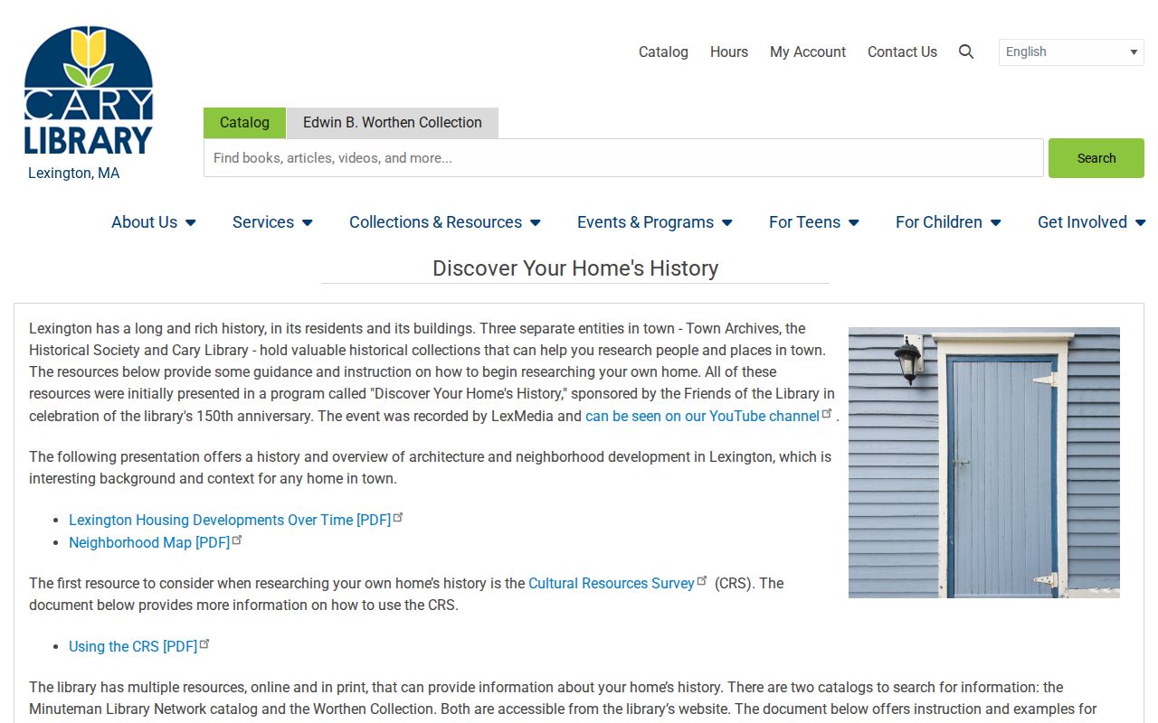
The guide points toward the Cary collections, Town Archives, Historical Society resources, and catalogs. It supports a careful research trail, rather than a claim that one catalog contains every past Lexington household.
Lexington History Museums adds staff-assisted archival research. Its collection contains more than 20,000 items, requests generally take about three weeks, and physical work requires an appointment with staff retrieval. That access route can be the next step when a map, photograph, or manuscript is needed to understand a dated property record.
Following Lexington Past Household Evidence
Ownership is only half of a previous-residents question. Lexington town directories, State Library genealogy resources, FamilySearch city and business directory records, and the digitized newspapers can give a dated household or address lead. The records must stay in their lanes. A directory can place an entry at an address in its year. A newspaper can identify an event or notice. Neither automatically establishes a continuous household, ownership, or a present-day connection.
The holdings, issue years, and access routes for the volumes themselves are detailed in the Lexington city directories collection. Pair a directory year with the appropriate census-era record or archival source rather than bridging an unsupported gap with an assumption.
- Log the address from the dated directory exactly as printed, including abbreviations and old street forms.
- Check the same edition’s address-oriented material when the volume supplies it.
- Compare a nearby newspaper page for the surname, street, or organization, then cite the title, date, and page image.
- Use a census-era, vital, cemetery, probate, or archival source only for the fact that source can directly support.
- Keep absent years and unsuccessful searches in the log so a later researcher can reproduce the sequence.
Obituaries and the five-town-cemetery inventory can be endpoints for historical research, but burial evidence is not a current address record. The Old Burying Ground dates to 1690, while Robbins, Munroe, Westview, and the Common Tomb add other local name-and-date routes.
Lexington Previous Residents Beyond Deeds
The Lexington Building Office uses OpenGov/ViewPoint for permits and inspections. The public route can search by location or record number, open the location file, select an application, and use the Files tab for released plans. The town’s permit activity spreadsheets cover categories such as building, electrical, plumbing, gas, sheet metal, and mechanical for listed years from 2020 through 2026. Conservation files can be searched by location or record number, but the town notes a pre-2018 online gap.
Compare parcel geometry with the Lexington MapGeo property viewer when a plan, split, or shared boundary may explain an older description. The viewer offers current and historical layers plus parcel selection. It is a reference map, not a survey product and not a household roster.
For older material, request a defined parcel, permit number, address, record series, and date range through the responsible office. Lexington accepts public-record requests through OpenGov, mail, email, or in person. Ordinary paper copies are generally capped at $0.05 per page, while permitted search or redaction costs can apply to a large request.
Lexington Previous Residents Research Limits
Missing a name in one source is not proof that the person never lived at the address. A transfer may be in another party’s name, a plan may have created the parcel, an estate proceeding may sit behind the next deed, or an older document may require an unindexed or book search. Record the town, date range, exact query, and result status for every negative search. That gives a future researcher a way to test the result instead of repeating a vague search.
Public sources also have privacy boundaries. Massachusetts Address Confidentiality Program participants use a substitute address, and confidential voter registrations are withheld under state rules. Avoid combining public fragments into a living-person profile. Keep the work focused on family history, estate or heir questions, property history, or civic record research.